
Discover the region with the new App “Veneto Outdoor”
All the itineraries, routes and trails of the Veneto in a single mobile application.
On foot, on horseback, by bicycle, with snowshoes, from one end of the region to the other. It is an idea of the President of the Veneto Region Luca Zaia and it is the latest innovation in the field of tourism in the Veneto, who has chosen Open Data technology to create a unique and innovative solution in the Italian panorama of tourism promotion.
The new “Veneto Outdoor” App was officially launched on the occasion of the BIT in Milan (which took place at FieraMilano, from 9 to 11 February) and is already available to be downloaded for free from IOS and Android devices.
Through the use of an “open data” infrastructure such as that offered by the Veneto Region, the objective of the application is to systematize the many itineraries already existing throughout the region (in all there are about 400), but which are often not known, except locally.
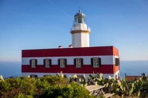
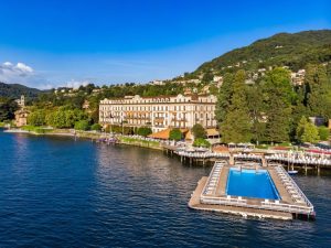
Up to now, 129 routes have been inserted and available, distributed in all seven provinces, from the Adriatic to the Dolomites, from Lessinia to the hills of Conegliano and Valdobbiadene, from Garda to the Po Delta, from the Berici hills to the thermal circuits.
There are approximately 12,500 kilometers of itineraries and paths to be explored on foot, by bicycle, on horseback, with snowshoes or skis, using this brand new digital guide as a ‘travel companion’. This is the first application that promotes tourist itineraries using the certified “open data” model, a technology that will allow Bodies, Pro Loco and associations to request the inclusion of the routes they have studied and edited.
The same can be done by enthusiasts, the users of the app themselves, whose experience and itinerary proposal will be uploaded after having been validated by an editorial committee that will guarantee their safety and interest. In the App, the itineraries will be divided by mode of use (foot, bicycle, horse, ski and snowshoe) and can also be selected by users using a specific geolocation function.
The application will also allow those who register to leave a review on the itinerary and assign a score of up to 5 stars based on their ratings.
After an initial phase in which “Veneto Outdoor” will make the open data infrastructure available, the subsequent development will concern the integration within the app of other information of a practical nature, such as those on transport and the weather.
More info about Veneto


No comment yet, add your voice below!